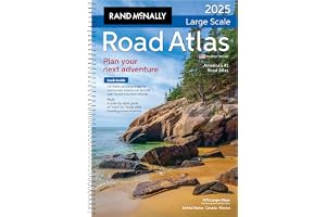
1
Spiral-bound for easy handling and use.
35% larger maps than standard atlas versions.
Covers United States, Canada, and Mexico.
Includes detailed inset maps of 375 cities.
Features 28 national parks for exploration.
Comprehensive, unabridged index for quick reference.
Road construction contacts on map pages included.
Average Rating out of 5:
Price Range: $26.99
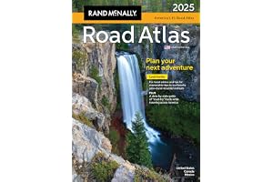
2
Includes up-to-date road maps for all 50 states.
Detailed maps of Canada, Mexico, and Puerto Rico.
Major cities and attractions highlighted with inset maps.
Top 100 adventure destinations and 24 National Parks.
Contact information for local tourism offices provided.
Durable spiral binding for easy, lay-flat reading.
Travel Tough plastic cover ensures long-lasting use.
Average Rating out of 5:
Price Range: $26.96
3
Updated 2025 midsize easy-to-read atlas.
Large print maps for easy navigation.
Convenient travel size fits in glove box.
Inset maps for over 50 North American cities.
Mileage and Driving Times Map included.
Spiral binding allows easy page opening.
Tips for year-round mountain retreats included.
Average Rating out of 5:
Price Range: $17.99
4
Explore travel experiences in all 50 states.
Includes must-see sites and hidden gems.
Illustrated with stunning images and detailed maps.
Features unique attractions, from parks to museums.
Offers practical travel information for each location.
Discover Canadian provinces and territories as bonus.
Fuel your wanderlust with fascinating state facts.
Average Rating out of 5:
Price Range: $12.90
5
Includes up-to-date maps for all 50 states.
Detailed maps for Canada, Mexico, and Puerto Rico.
Features 20 scenic drives for unforgettable trips.
In-depth maps of major cities and attractions.
Comprehensive index and mileage charts included.
Convenient letter-size format for easy storage.
Printed in North America for quality assurance.
Average Rating out of 5:
Price Range: $13.46
6
Easy-to-read cartography for clear navigation.
Shows all Interstate and U.S. highways.
Indicates cities, points of interest, and airports.
Includes mileage chart for trip planning.
Features driving times map for efficient travel.
Displays national facts and symbols for education.
Compact size; folds out for easy use.
Average Rating out of 5:
Price Range: $9.69
7
Trusted road travel tool for over 100 years.
Updated maps of all U.S. states and Canada.
Detailed city maps and national park insets included.
Mileage and driving time map for easy planning.
Year-round mountain retreat recommendations and tips.
State-by-state guide to must-try regional foods.
Tourism contacts for every U.S. state and province.
Average Rating out of 5:
Price Range: $22.49
8
Over 770 useful Italian phrases included.
Designed for quick reference and easy study.
Perfect for tourists and business travelers.
Includes phonetic pronunciation for easy speaking.
Indexed for fast phrase location and navigation.
Covers various everyday situations and topics.
Ideal for effective communication in Italian.
Average Rating out of 5:
Price Range: $5.00
9
Over 700 essential phrases for communication.
Ideal for tourists and business travelers.
User-friendly format for easy navigation.
Includes phonetic transcriptions for correct pronunciation.
Covers dialect variations across Spanish-speaking regions.
Features Spanish Grammar Primer for language tips.
Perfect for beginners and advanced learners alike.
Average Rating out of 5:
Price Range: $4.19
10
Explore every country with vibrant photography.
Gain insights on culture through various mediums.
Detailed profiles for when to visit each country.
Hardback edition makes an impressive gift choice.
Supports wanderlust with colorful mapping and visuals.
Trusted travel information since 1973 by Lonely Planet.
Inspire a new generation of passionate travelers.
Average Rating out of 5:
Price Range: $26.26
11
Master Spanish in just 30 days!
Includes 3 comprehensive workbooks in 1.
15-minute daily lessons for busy adults.
Over 600 essential words and phrases.
Interactive content with real-life dialogues.
Science-based methods for effective learning.
Bonus materials to enhance your experience.
Average Rating out of 5:
Price Range: $22.27
12
Explore world history through detailed maps.
140 maps illustrating key historical events.
Easy-to-read text panels enhance understanding.
Stunning visuals and informative timelines included.
Published with the Smithsonian Institution's collaboration.
Perfect gift for history and map enthusiasts.
Guided tour through significant historical periods.
Average Rating out of 5:
Price Range: $28.00
Color: 48 positive
13
Explore vast glaciers and volcanic lakes.
Strategic advice for time and budget efficiency.
Discover hidden gems and must-see sights.
Connect with locals and experience Icelandic culture.
Self-guided tours of Reykjavík and scenic drives.
Over 500 pages of detailed travel information.
Updated insights on popular destinations and attractions.
Average Rating out of 5:
Price Range: $20.27
14
Waterproof and durable for outdoor adventures.
Tear-resistant material for lasting use.
Detailed coverage of the Northeast USA.
Includes major cities and natural landmarks.
Perfect for road trips and travel planning.
Map scale: 1:1,300,000 for precise navigation.
Compact folded size for easy portability.
Average Rating out of 5:
Price Range: $13.46
15
Waterproof and tear-resistant for durability.
Detailed and accurate information for travelers.
Includes cities, towns, and roads index.
Features recreational and cultural destinations.
Covers Republic of Ireland and Northern Ireland.
Map scale: 1:385,000 for precise navigation.
Compact size for easy carrying and storage.
Average Rating out of 5:
Price Range: $13.90
16
Waterproof and tear-resistant synthetic paper
User-friendly index for easy navigation
Detailed road network with distance indicators
Highlights UNESCO World Heritage Sites and attractions
Covers northern and southern Italy comprehensively
Perfect for adventurous travelers and explorers
Durable design withstands international travel challenges
Average Rating out of 5:
Price Range: $13.46
17
Waterproof and tear-resistant material for durability.
Detailed road network for easy navigation.
Includes cultural and historical destinations.
Specialty content for recreational activities.
Inset maps for Orkney and Shetland Islands.
Foldable design for convenient travel.
Map scale of 1:440,000 for accurate representation.
Average Rating out of 5:
Price Range: $13.90
18
Essential phrases for everyday conversations.
Phonetic spelling for accurate pronunciation.
Comprehensive English-Italian and Italian-English dictionary.
Tips for engaging in small talk.
Humorous insights from Rick Steves.
Tear-out cheat sheet for quick reference.
No internet required for language practice.
Average Rating out of 5:
Price Range: $11.58
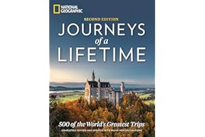
19
500 celebrated and lesser-known travel destinations worldwide.
Completely revised for 10th anniversary edition.
120 new destinations added for exploration.
Stunning photography and full-color maps included.
Practical tips for planning your travels.
Adventurous trips from trekking to cruising.
A lifelong resource for passionate travelers.
Average Rating out of 5:
Price Range: $25.30
20
Waterproof and tear-resistant for durability.
Detailed road network with distances and destinations.
Includes recreational and cultural points of interest.
Features shaded relief for easy navigation.
Perfect for adventure travelers exploring Iceland.
Compact size for convenience on the go.
Map scale of 1:465,000 for accuracy.
Average Rating out of 5:
Price Range: $13.90
21
Explore 1,000 unique adventures worldwide.
Organized by longitude and latitude for easy planning.
Perfect for all types of travelers and explorers.
Includes over 300 stunning adventure photos.
Embrace cultural experiences and culinary delights.
Great gift for travel enthusiasts and adventurers.
Inspires unforgettable life experiences and memories.
Average Rating out of 5:
Price Range: $21.65
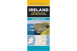
22
Colorful, easy-to-use Ireland travel map.
Highlights Rick’s favorite travel destinations.
Includes detailed maps of Dublin and Belfast.
Printed on durable, tearproof paper.
Features highways, ferry routes, and bus stops.
Easy navigation for travelers and tourists.
Guidebook-friendly layout for quick reference.
Average Rating out of 5:
Price Range: $9.99
23
Stunning large-format illustrated atlas of national parks.
200+ visuals: maps and breathtaking park photos.
Perfect for trip planning or armchair exploration.
Covers all 61 national parks across America.
Detailed maps and graphics highlight unique features.
Includes captivating storytelling about parks and ecosystems.
Ideal gift for nature lovers and park enthusiasts.
Average Rating out of 5:
Price Range: $30.82
24
Comprehensive guide for USA Interstate highway services.
Find services near each interstate highway exit.
Ideal for road trips, RVs, and moving vans.
Includes gas stations, food options, and hotels.
Features RV camping, rest areas, and welcome centers.
Reliable offline tool; no GPS or signal needed.
Updated annually; 100% made in the USA.
Average Rating out of 5:
Price Range: $21.34
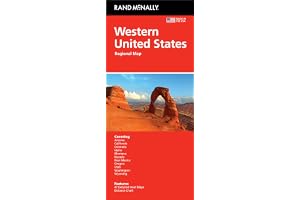
25
Trusted Rand McNally cartography for accuracy.
Features Western United States travel coverage.
Includes major highways and detailed city maps.
Clearly indicated points of interest and airports.
Conveniently folded size for easy storage.
Regularly updated for current travel information.
Easy-to-use legend and detailed index included.
Average Rating out of 5:
Price Range: $9.29
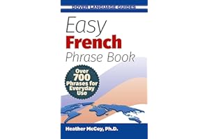
26
Over 700 essential French phrases included.
Fast communication for everyday situations.
Perfect for tourists and business travelers.
Indexed for quick topic access.
Phonetic pronunciations for accurate speaking.
Includes modern telecommunications terms.
Your essential guide for navigating France.
Average Rating out of 5:
Price Range: $5.00
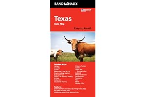
27
Easy-to-read, full-color state map.
40% larger map with bigger type size.
Includes interstate, U.S., and state highways.
Highlights parks, points of interest, and airports.
Convenient folded size for easy travel.
Detailed index for quick location finding.
Regularly updated for accuracy and reliability.
Average Rating out of 5:
Price Range: $11.99
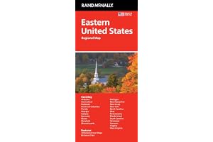
28
Trusted Rand McNally cartography for accuracy.
Detailed maps of major Eastern cities.
Clearly labeled highways and points of interest.
Conveniently folded size for easy transport.
Regularly updated for reliable navigation.
Includes mileage chart and driving times.
Comprehensive coverage of 18 states.
Average Rating out of 5:
Price Range: $9.29
29
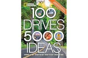
Explore 100 unforgettable drives across North America.
Discover epic journeys through 50 U.S. states.
Experience 10 picturesque Canadian provinces on your travels.
Find unique roadside attractions and hidden gems.
Innovative itineraries with best routes and timings.
Perfect for adventurers, families, and history lovers.
Expert travel tips and activities for every stop.
Average Rating out of 5:
Price Range: $14.05
30
Over 300 maps and charts included.
Illuminates biblical geographical contexts effectively.
Perfect for beginners studying the Bible.
Easy to carry for personal or group use.
Enhances understanding of biblical events and places.
Includes detailed accounts of key biblical journeys.
Valuable resource for years of exploration.
Average Rating out of 5:
Price Range: $7.81